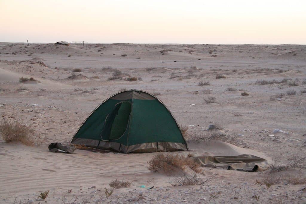
November 5, 2011 – After the border (and the land mines)
Latitude: N 21°/ Longitude: W 16°/ Altitude: 74m
The desert looks different in Mauritania: more scrubs but also more dunes, colors ranging from bright white to yellow.
November 7, 2011 – Outside Aleg
Latitude: N 17°/ Longitude: W 14°/ Altitude: 76m
When bush camping try and get as far off the road and out of side from anyone passing by as you can. Then again you might find that this takes you straight to a farm or you wake up to a stampede of cows…
November 8, 2011 – Past Kiffa
Latitude: N 16°/ Longitude: W 11°/ Altitude: 185m
When travelling through Mauritania you might wonder about the number of dead animals you find by the side of the road. That doesn’t necessarily mean that animals die frequently. The lack of carnivores that feed on them and the dry head merely lead to the carcasses being visible for much longer than in other areas. Oh, and the locals wouldn’t eat them regardless of hunger – Mauritania is a Muslim country and those dead animals are not halal.
November 9, 2011 – 30k from the Malian border
Latitude: N 15°/ Longitude: W 9°/ Altitude: 214m
Haven’t had thorns in a while? You’ve come to the right place: they’re so big here they will even get through the tent’s tarpaulin…
Outside world
You will find that there are a lot of police stops along the road to Mali. Be sure to have enough copies of your passport details because it’s easiest if you can just hand them out. But beyond slowing your travels down this might also serve as a safety measure: when we didn’t show up before dark at the next stop police came looking for us (they found us safely in our bush camp), and stayed a couple hundred meters away by the road to see us off in the morning.

